Black Rock Reservoir
Posted on April 8th, 2012 in Uncategorized | 2 Comments »
By Dave Boyer
Just a camping trip.
The Rendezvous:
In late March of 2012, Sportsmobile Forum member CellularSteve contacted me explaining that he was in desperate need of a short vacation and wanted to get away from work. Usually a group of us do a late winter desert 4×4 run but weíve missed our get together for the past 2 years. It was time to get back into action. We all need to get away from the day to day stress that our daily activities put us through and sometimes a simple road trip can do the job. Steve was willing to drive up from southern California and I agreed to meet up somewhere south of my home located in Californiaís Central Valley. He also asked if my buddy Don would attend and after contacting him he was more than happy to tag along. If youíve read any of the posts on my site youíll see Don is one of the few friends I have that enjoys off roading and has accompanied me on a number of backcountry adventures including several with Steve. We all agreed to meet up for an extended weekend above Fresno in the Sierra Nevadaís toward the end of March. On this trip Steve was on his own and didnít have a rider. The plan was for us to meet up above Pine Flat Reservoir and camp at Black Rock Reservoir located on the North Fork of the Kings River. Itís a spot Iíve visited several times and even though this was set up as more of a camping trip, I looked forward to this meet.
Location:
Central California east of Fresno.
From Fresno, go 47 miles east on CA 180, to Piedra Road, then 17 miles on Trimmer Springs Road to the split at the bridge that crosses the river to Balch Camp. Follow Black Rock Road through the PG&E facility and continue on to Black Rock Reservoir.
Seasons open:
Year round weather permitting.
Elevation:
1000-4200 feet
Nearby Facilities & Camping:
There are several developed camping spots along the Kings River and Pine Flat Lake. The lower lake is only 45 minutes from the Fresno area. Pine Flat marina offers limited fuel and supplies (559) 787-2506. Dispersed camping is allowed above Black Rock but the forest service is in the process of making changes to backcountry camping rules so contact the Sierra Ranger District for further camping information.
Fuel can be purchased east of Fresno along highway 180 north of Sanger when entering from the Fresno area. Prather and Shaver Lake also have facilities for food and fuel.
About the drive to Black Rock Reservoir:
(Click on smaller images to enlarge them)
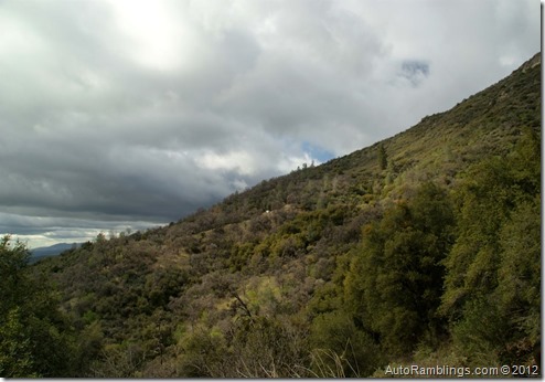
During this time of year snow occupies most of the higher elevations but the lower foothillís climate is mild, the grasses are generally green, and the flower bloom is still in progress. The spot we choose to meet was the upper Kings River, a place I wrote about in a previous article (see the Davis Flat Trail post). Steve had also visited this area several years before but had never been above the Pine Flat Reservoir. Iíve been up here several times usually during the fall season and please note some of these pictures are from several years back.
At the headwaters of Pine Flat Lake, Dinkey Creek is a fairly large tributary that flows into the reservoir. After crossing the Kings River a narrow paved road winds its way towards Balch Camp along side Dinkey Creek. Balch Camp is a small PG&E community has been built to house workers (and their families) that maintain a series of power houses in the general area. Throughout the region, pinstocks carry water from upper Wishon Reservoir down the steep hills to these PG&E electrical powerhouses.
(Dinkey Creek)
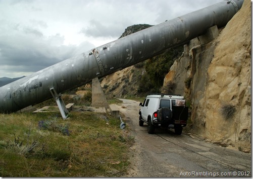
Pinstocks like these shown above provide the water pressure necessary to turn the large turbines inside the powerhouses.
Pictured below is the Balch Camp facility.
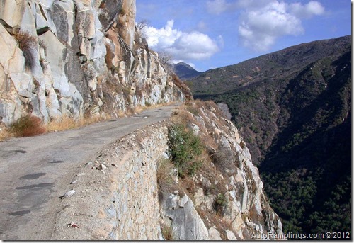
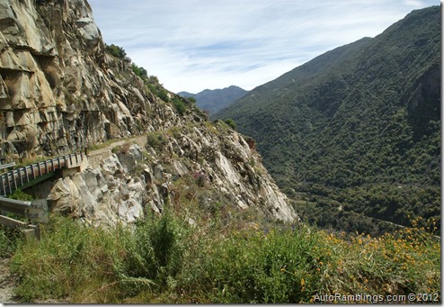
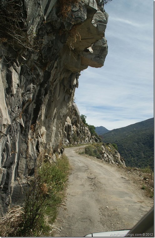
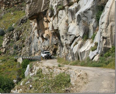
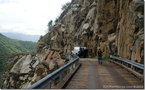
After driving through this housing facility, the road climbs along a sheer cliff that might be intimidating to some people. The Balch Camp Road is a route that is maintained yearly and is paved to Black Rock Reservoir. Although passable during winter, itís best to avoid traveling it if snow is present.
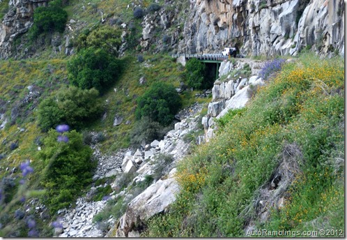
There are no guard rails here as seen in the image below. Itís a long trip to the bottom.
This road is a single narrow pathway and one that would require backing up if another vehicle is approaching from the opposite direction.
Another hazard is the possibility of debris or ice breaking off the cliffs and damaging your vehicle.
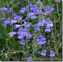
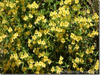
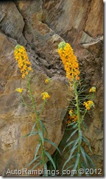
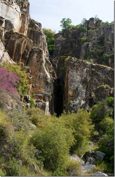
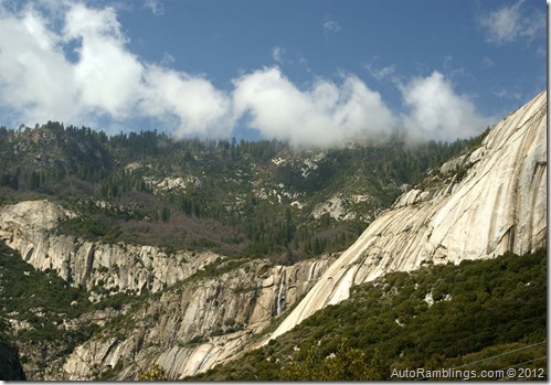
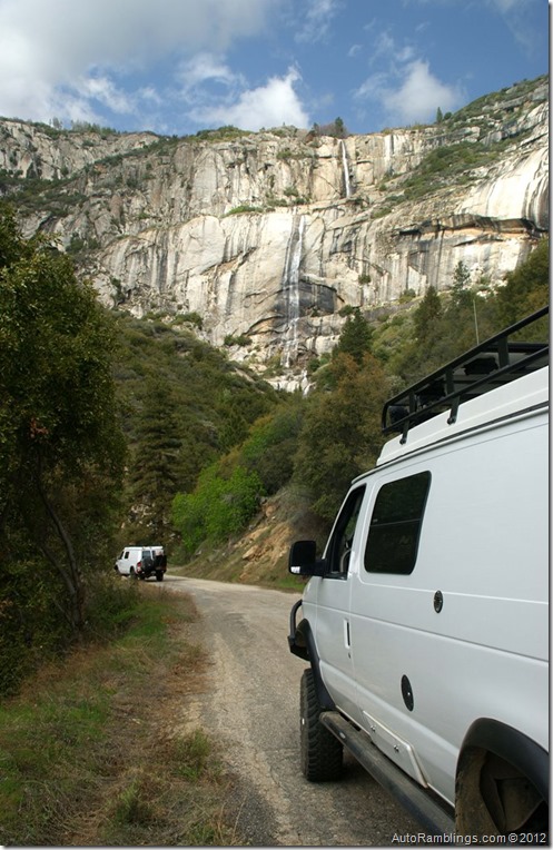
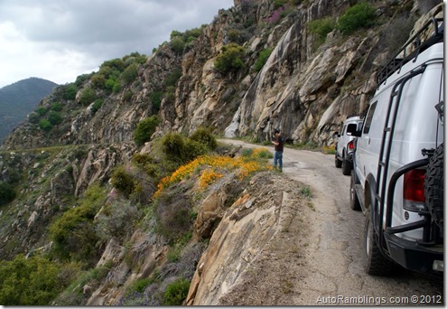
By far, one of the most scenic times to travel this road is late winter or early springtime. The flower bloom can be quite beautiful and there are a couple of waterfalls worth viewing.
The paved road ends at the reservoir where a small campground is located at an altitude of 4000 feet. The Sawmill Flat trail continues up the canyon but closes for the winter season. The Dam is accessible year round provided the road is open and there is a spot to launch a boat but I would check with PG&E who runs the facility on the seasons of operations and restrictions. During high water run off, water spills over the top of the Dam. Donít float too close to the Dam!
The trip:
I made it to the Kings River area a day before Steve so Don and I took a drive up to the camp to see if anybody was around. The forecast was for rain so I wanted to get some pictures before it clouded up. The hills were green and the flower bloom was about at its peak for the year.
Below this shelf road, a private access road in the lower valley skirts along the river.
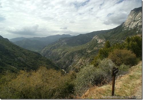
In the image above, the PG&E facility seen in the river canyon below gives you a grasp on how steep the drop off is. Some places it drops almost vertically.
Even in summer rocks might tumble down from aboveÖ a nightmare for solar panels but thankfully it rarely happens.
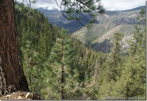
The views make this one of my favorite paved roads in the local area.
Iíd like to travel the bottom canyon road one of these days. Too bad itís a private road.
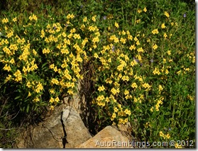
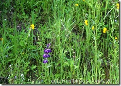
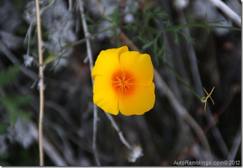
It was one of the better blooms Iíve seen lately.
The image above is looking back at the shelf road as it winds its way up to our advantage point. After looking over the camp we headed back down to the Kings River to wait for Steve. At least the approaching storm was just cloud cover at this point in time. Steve finally made it and we headed off to camp for a relaxing evening. Unfortunately it had turned dark by the time he arrived so heading up Balch Camp Road wouldnít be much of an adventure for him. The drive isnít too long and because it was dark it seemed to go quicker than normal. Soon we made it to the campground which as mentioned is owned and operated by PG&E. There are some boon dock spots but because we had only planned to stay one night here, the campground was a good choice plus having a table and a fire ring was kind of nice. This campground is very small (only 10 sites) and would be miserable if other people were using the camp but nobody was around so we grabbed a couple sites. There is a bathroom plus a running water spigot that is active during the open season. Even though itís kind of a scenic CG, the fee was rather high priced. Lucky for us it was the off season.
After setting up, adult beverages and a fine cigar rounded out the night as we sat around a warm fire. It was nice discussing the past events since our last meeting and planning out the next dayís agenda. This was a great night and being Steve wasnít too burned out by a long drive, we stayed up later than usual.
In the morning we had breakfast, a little espresso and then packed up to head on to our next destination. Steve finally got to see what the place looked like and checked out the lake before we headed out. I was sure he would be surprised of what he missed on the drive up the night before. We still had a little sunÖ at least for the time being.
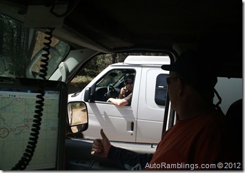
Checking the radios before we left out.
Both of us figured Steve should lead the way being all he was able to see the night before was what his headlight projected on. At least he could pull over where he wanted. He never even knew he had traveled over a shelf road that dropped off into a canyon.
The sign says itís a vista point. Actually the whole road is a vista point IMO.
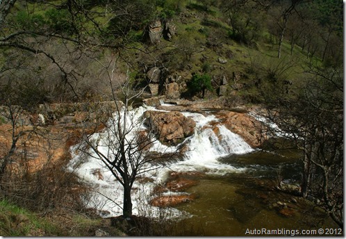
The falls are usually more active later in the season when the runoff from the snow melt is higher.
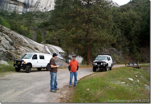
Down the road we pulled over to shoot the $#!T.
You canít get a feeling of the size of the powerhouse pinstocks until you drive under them.
The bridges are a little intimidating for those who drive heavy vehicles.
The sound your vehicle makes is unique when crossing them.
Just stay on the metal tracks.
Donít fall asleep while driving on this road! I wondered what Steve was thinking now that he could actually see the canyon.
The steepest section of the trail is just outside Balch Camp.
If you look at the mountain in the background, you can see the Sycamore Springs Trail. Iíve yet to run that trail, mainly because it a narrow brushy route so I still need a few more dings and scratches on my van before I attempt it.
The rain settled in before we reached the river crossing.
After returning to the Kings River, the plan was to set up camp along a small tributary that feeds Pine Flat reservoir called Big Creek. Trimmer road winds its way along the shoreline of Pine Flat and several miles downstream from the headwaters where the Dinkey-Trimmer road splits off and climbs back up into the pines trees.
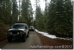
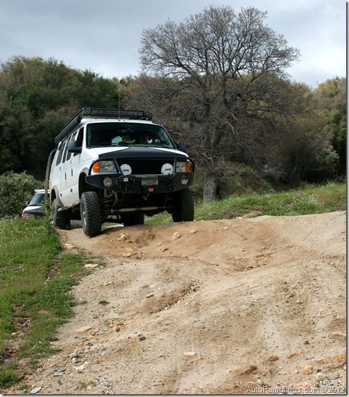
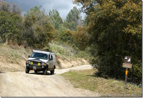
Forest service road 10S02 (designated Big Creek Road) tracks left off the Dinkey-Trimmer road about 5 miles above the lake. The road was muddy and slick even in four wheel drive. The trail is off camber in spots with drop offs that made the run slightly nerve-racking. On a couple occasions my rear end cut loose and the van slid sideways but eventually we got through the muddy terrain. As we climbed in altitude the rain turned to wet snow but none was sticking to the ground. The creek was running high and most of the dispersed camping was under water or extremely muddy. One spot was promising but we decided to take a look at Bretz Mill campground. At this time of the year the area is void of campers and Bretz Mill CG site are fairly separated from each other so if someone was there I was sure it wouldnít be a problem. Luckily there was only one other group of campers there and they were at the opposite end. Steve thought it was fine so we set up camp for the evening.
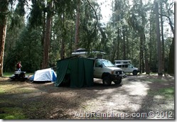
In camp we set up our awnings due to the rain, and I went ahead and enclosed mine so we could fire up my little propane fireplace. Even though the camp is only at the 3,300 foot level, it did snow a bit. The propane campfire was well received that night.
In the morning Don made up some ďloaded up espresso??? and we both enjoyed seeing the sun as the weather cleared. But where was SteveÖ no movement over there. Don yelled WAKE UP!
Finally we were able to roust him out.
We had talked about where to go and what to do around the fire the night before.
With a somewhat late start, destinations were limited but snow in the upper elevations was more of an issue. As mentioned, this time of year limits where you can travel.
Not too far from our campsite, the community of Shaver Lake offers fuel, supplies, and a number of pretty good restaurants. The Plan was to take the old railroad grade that runs from the small town of Big Creek down to the city of Auberry. Iíve been down this route several times but it was new to Steve. (Note that the town of ďBig Creek??? is not the same Big Creek we camped nearby the prior evening).
The route out of our camp was a paved road called Peterson road but it is still a nice Sunday drive. You can read more about Peterson Road in this LINK.
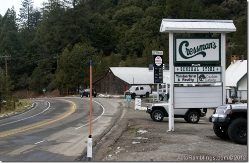
At the top of the highway grade (Ca 168) and prior to arriving at Shaver Lake, a small establishment called Cressmanís General Store has been around since 1904 and sells fuel and food for those living in or visiting the area.
Because of itís location, this stop has been a frequented resting point along the path into the higher country. In the past few years the price of fuel has been reasonable here and the store now offers good food especially the homemade deli sandwiches. I see that within the past few years theyíre trying to set up the place as a restaurant but Iíve never tried anything except lunch. We fueled up and headed to Shaver.
Next stop was something I usually donít want to miss, and thatís sitting down to a good pizza ![]() with a cold mug of beer
with a cold mug of beer![]()
![]()
Shaver Lake Pizza isnít what I would call a high end Pizza parlor, in fact, how they get that pie to taste so good using one of those conveyer belt ovens is beyond me. But the Pizza IS better than average and sure goes down good with a pitcher of General Sherman IPA, a beer brewed by Tioga-Sequoia Brewing Company. After stuffing ourselves, we were off the Big Creek and the RR Grade Trail.
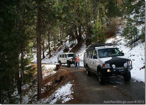
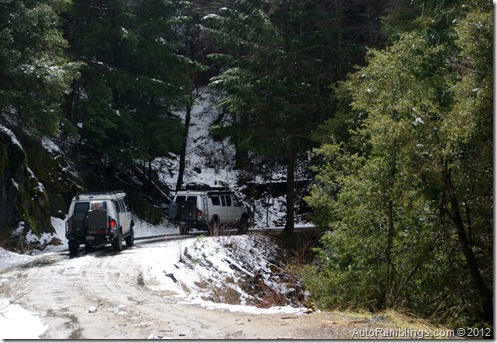
The town of Big Creek is a employee based community which has a large Southern Cal-Edison powerhouse located nearby. During the powerhouseís construction, a railroad was used to bring in supplies from nearby Auberry. The route now serves as a great back road that most any 2WD vehicle can take in reasonable weather. You can read more about the RR Grade Road at this LINK. On this run snow was present but didnít pose a problem. It did add to the scenery and thankfully wasnít enough for the forest service to close the road.
No throwin snowballs Steve! Well, he missed anyway![]()
The road is hard packed dirt so any vehicle can do this route most of the time and would be a great run for a Sprinter type vehicle.
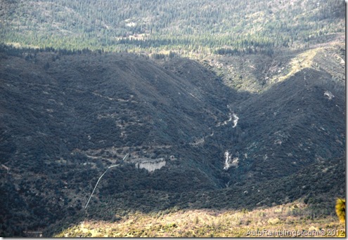
Looking down into the San Joaquin River Canyon.
Similar to Black Rock, the San Joaquin Canyon has a series of powerhouses throughout the region. The picture above shows the pinstock that leads to one of several generating facilities.
Much of this road is a shelf route but most of the views looking down into the valley are limited.
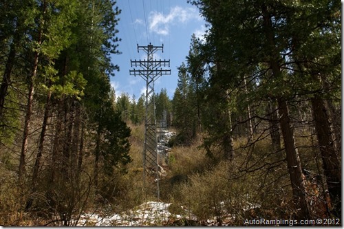
If you look closely in the above picture you can see the electrical transmission lines coming from Big Creek powerhouse.
Distribution power and communication towers.
Although Iíve ran this route many times, the snow really made this one for the books or maybe I should say for the blog ![]()
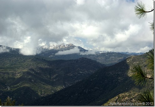
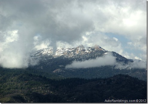
Below is a close up of the area around Mammoth Pools and Shuteye Peak. Balloon Dome is visible in the center right. Both Balloon Dome and Shuteye Peak are other posts I made on this site and these areas well worth visiting for a little off road action.
The picture above is looking west into Californiaís Central Valley. From this point the terrain begins to change from pine trees to Oaks. Below is an image of Redinger Reservoir, the first dammed lake on the San Joaquin River.
As we rounded Flume Peak the trail dropped steeply to Mill Creek. It does provide a view of the trail as it meanders down along the ridge.
Steve stayed back while we drove down to the creek.
Can you spot Steveís vehicle? Being this was the first of April we decided to play a little April fools joke on him.
The creek runs under the trail and the side of the road drops off vertically to the water. Don waited for Steve to pull up.
Although I didnít get the shot when Steve got out of his van, it was pretty funny to see him jump about a foot off the ground when Don popped out of the hole ![]()
Mill creek itself always puts on a good show.
This was the last stop we made before heading into Auberry. The unpaved portion of the trail ends only a couple miles past Mill Creek. From there you can continue towards Auberry along the old RR Grade where itís now a paved roadway or you can take the left fork and head directly to highway 168. We choose to head into Auberry. 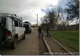
Iíve ended several trips with other friends here so it seemed appropriate to make the same stop.
It was turning dark as we headed off back to camp.
We had another good night around the propane fire in my little enclosure jammin on music and enjoying our open bar. It would be the last night and we made the best of it.
In the morning we packed up and headed back down the route we had taken in the rain except this time the sun was out. It was a huge difference seeing the hills in sunshine as compared to the rain soaked day we had driving up.
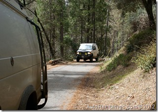
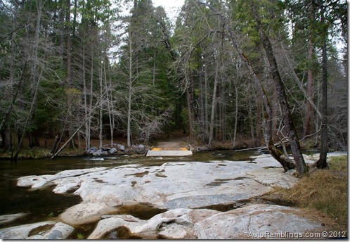
This water crossing has been one that Iíve wanted to travel over since the day I found it. With all the new trail closures Iím wondering if they plan on closing it? As the trail drops in altitude, the pines begin to scatter and the hills open up a bit.
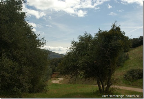
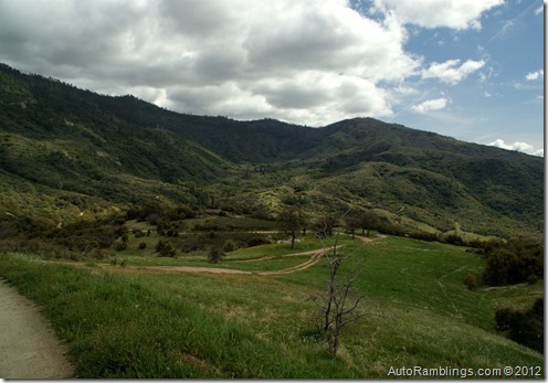
The trail drops into an impressive little valley.
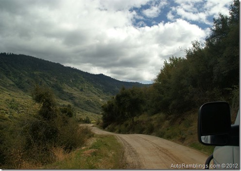
After turning off 10S02 onto the Dinkey/Trimmer Road, itís well graded until you get to the paved section.
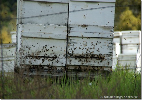
On the way up, Steve called over the radio ďwhat are those boxes???? and I told him to go open one.
During the heavy cold rain nothing was stirring. But this day was different. It was a nice warm day and the bees were out and active. I donít think I could have talked him into opening one of the boxes or even get close to them!
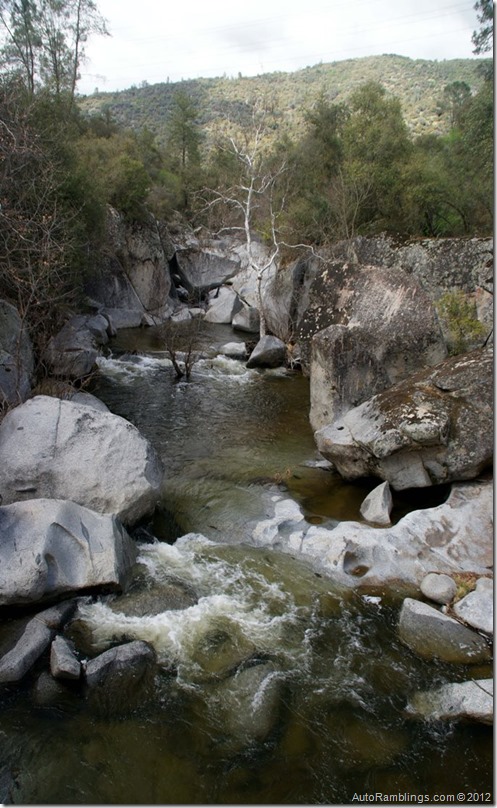
The road meets up with Big Creek which was the last leg of our run. This little section of the river is known for its swimming holes and is quite busy during the warmer seasons.
Below is what is marked on the map as the ďOld Weir???.
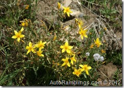
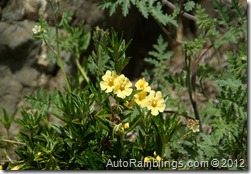
The flower bloom was quite impressive here as well.
We finally made it to Pine Flat Reservoir and the end of our trip. I snapped one last pictureÖ a Lupine with the lake in the background. The trip was over.
While pulled over at the lake we both wished Steve a safe trip home. I sure didnít envy his long trip back to the LA area. Even though it was a great trip, I was sure both Steve and Don were looking forward to seeing their families and a hot shower. This trip will be one that will stay registered in my memory.
The drive home was uneventful except when I pulled over so Don could grab some ice at a store on the way down the hill. As I sat there I couldnít help notice the sign off in the distance.
The sign said:
Summary:
This was a great camping trip and although we stayed away from any technical off roading, just driving around the hills was relaxing and stress free. About the only time we needed four wheel drive was during the wet weather; other than that most any two wheel drive vehicle could take any of these routes. We couldnít have picked a better time of year as far as the flower bloom goes. The rain was an issue but I usually look forward to a little precipitation and the snow along the railroad grade added a touch of scenery. It was good to meet up with Steve again. We always try to make one run a year and I look forward to the next.
Thanks for following AutoRamblings Sportsmobile 4×4 Adventures.
Maybe see ya on the trail.

















































2 Responses
Thanks for the write ups. These kind of reports help a lot when I’m planning a trip. Especially when I’m driving up from San Diego area. I love my Land Cruiser but your vans look incredible. Just got back from Courtwright Res. and am already planning next trip to blackrock Res. Thanks again. keep up the adventures because life is to short.
Courtwright is a nice place too. There is a lot of good camping in the area.
Thanks for reading